When delegates gathered at the Paris Peace Conference in early 1919 to reshape post-war Europe, Ukraine arrived as a nation struggling for international legitimacy. The Ukrainian People's Republic, proclaimed in January 1918, sought recognition of its independence and validation of territorial claims that reflected centuries of Ukrainian settlement and national aspiration.
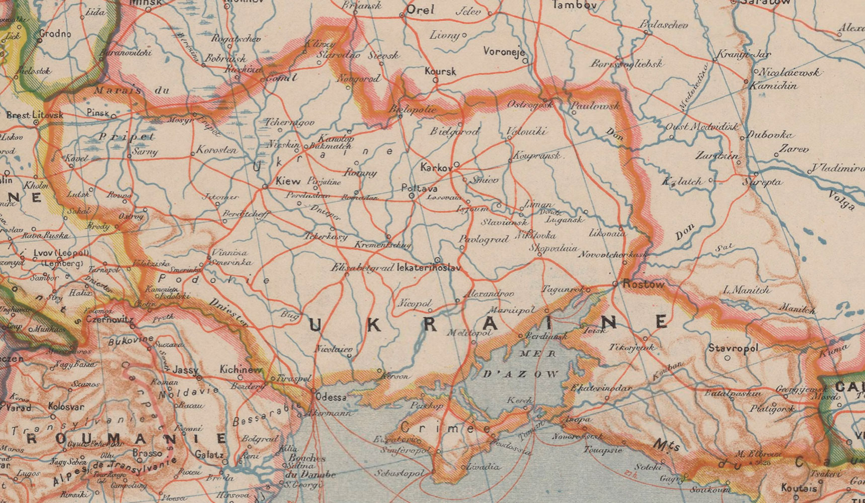
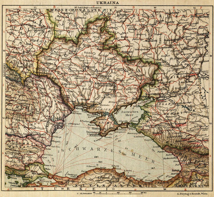
Ukraine's delegation presented claims encompassing a vast territory extending from the Carpathian Mountains to the Don River, and from the Black Sea northward to include much of Volhynia and Podolia. These boundaries aimed to unite ethnic Ukrainian populations scattered across the former Russian and Austro-Hungarian empires. The core territory included the fertile lands of central Ukraine, the industrial Donbas region, and the strategic Black Sea coastline with ports like Odessa.
Eastern Galicia proved particularly contentious. This region, with its significant Ukrainian population centered on Lviv, was claimed by both Ukraine and the newly reconstituted Poland. The Western Ukrainian People's Republic had briefly united with the Ukrainian People's Republic in January 1919, strengthening Ukraine's case for inclusion of these territories.
However, Ukraine's position at Paris was fundamentally weakened by political fragmentation and military instability. Multiple governments competed for legitimacy on Ukrainian soil: the nationalist Ukrainian People's Republic, the conservative Hetmanate, Bolshevik forces, and the anarchist movement under Nestor Makhno. This chaos undermined Ukraine's credibility with Western powers skeptical of its viability as an independent state.
The Allies, preoccupied with containing Bolshevism and stabilizing Western Europe, proved reluctant to support Ukrainian independence. France favored a strong Poland as a bulwark against both Germany and Russia. Britain remained wary of destabilizing the region further. The United States, while sympathetic to self-determination in principle, prioritized other concerns.
By late 1919, Ukraine's territorial ambitions had largely collapsed. Eastern Galicia was awarded to Poland. The Bolsheviks gained control over most Ukrainian territory, eventually establishing the Ukrainian Soviet Socialist Republic as a constituent part of the Soviet Union. The Crimean Peninsula's status remained unresolved, later falling under Soviet control.
Joseph Forest's 1919 map captures this moment of uncertainty, when Ukraine's borders remained fluid and contested. The cartographic representation reflects both the aspirations of Ukrainian nationalists and the geopolitical realities that would ultimately deny those claims, freezing Ukraine's independence struggle for more than seven decades.